Gaikas Kop: A Hike into the Untamed Beauty of Hogsback
Gaikas Kop is a mountain peak that stands proudly amidst the breathtaking Amathole Mountains, near the town of Hogsback in the Eastern Cape of South Africa. Among the many wonders that the beautiful village of Hogsback has to offer, Gaika’s Kop is certainly one of them. Named after the legendary Xhosa chief Gaika from the 18th century, this mountain peak is a notable dolerite outcrop, reaching around 1954 meters and ranking among the tallest peaks in the region. It’s a captivating gem that attracts hikers and nature lovers alike.
Getting to Gaikas Kop
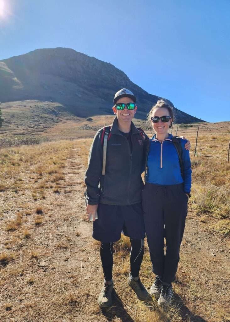
To reach Gaikas Kop, we filled out indemnity forms at Forrestor’s Cabin and followed a parks official to the trail’s starting point. The impressive shape of Gaikas Kop stood tall against the bright blue sky in the distance.
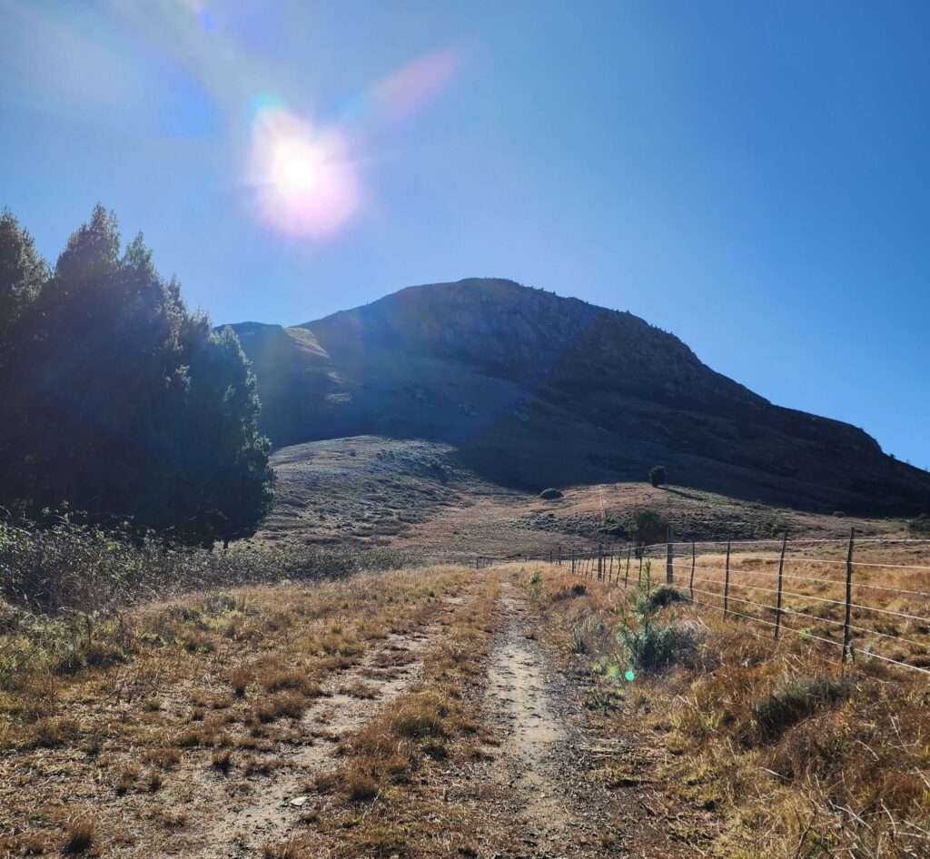
Our hike began on the trail, crossing a wet grassy area next to a barbed-wire fence, leaving our feet soaked.

After a 15-minute stroll, we passed through a section of the fence, signaling the start of our climb up Gaika’s Kop.
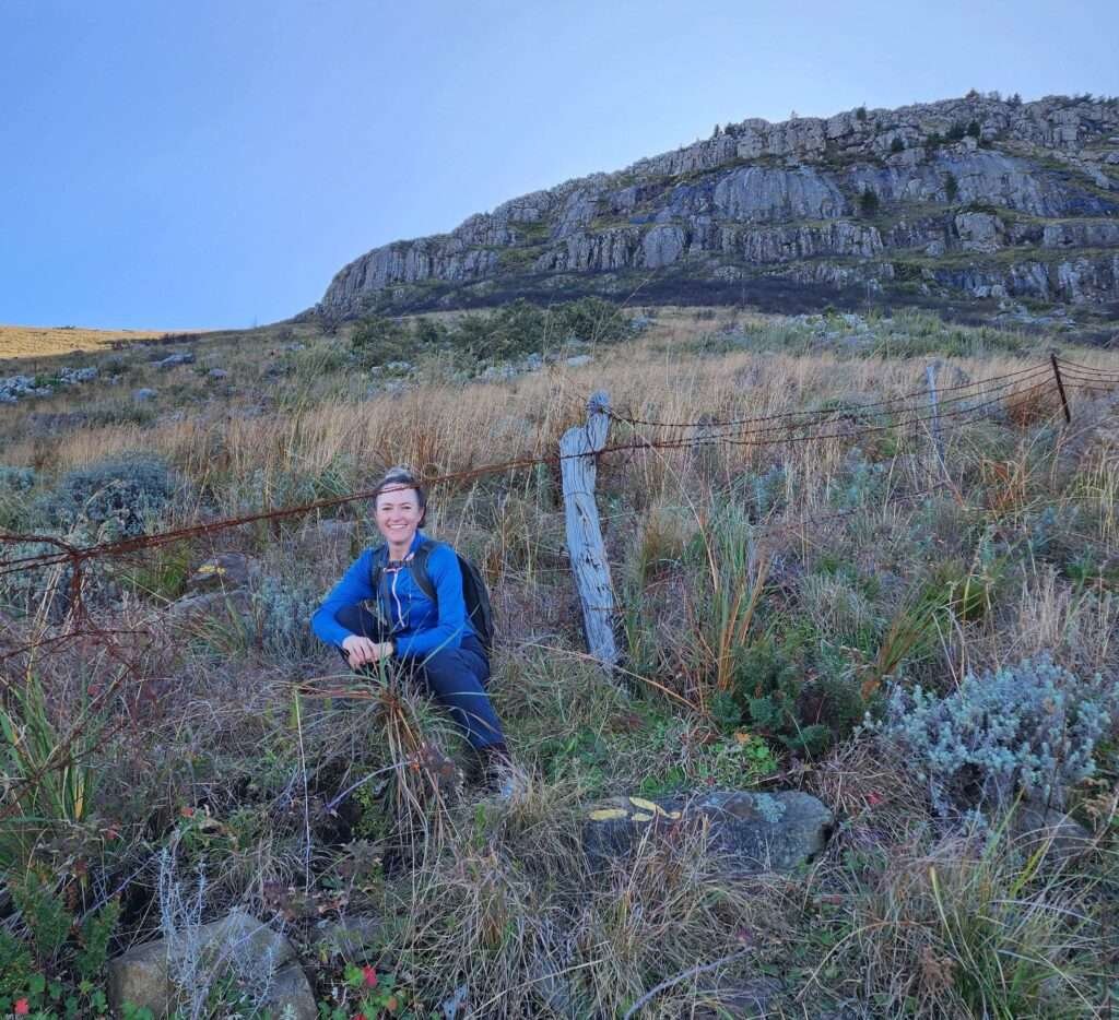
As we went up, the path became steeper, but the incredible view below and the progress we made kept us motivated.
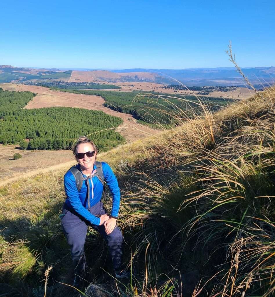
About halfway, we discovered a rocky spot offering breathtaking views of distant mountains and the wide valley. Pausing there, the beauty of the surroundings felt perfect to soak in.
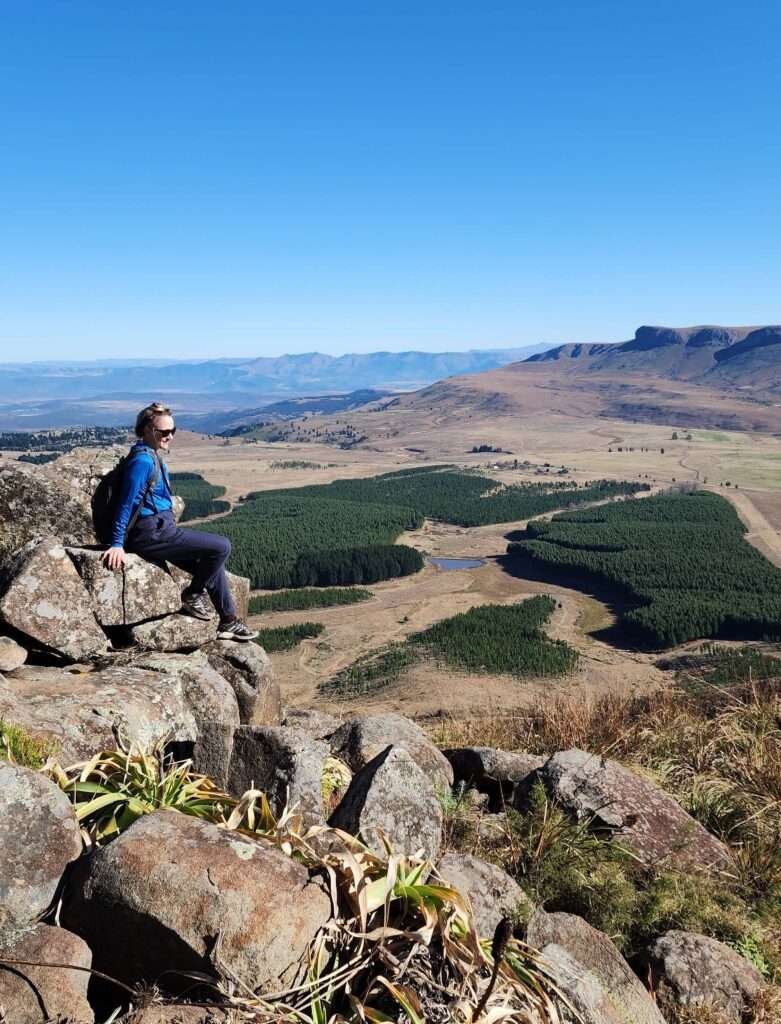
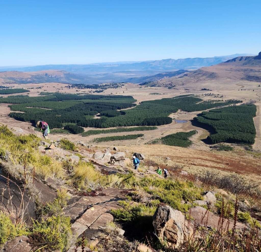
Rewarding views at the top of Gaikas
Getting to the top felt amazing. All the hard work paid off when we looked at the scenery that seemed to go on forever. We were able to see how incredibly beautiful and big the area is.

Even though it only took us about an hour to come down, the journey downhill was a bit tricky. We had to deal with slippery surfaces, taking careful steps to stay on our feet.
Hiking Gaikas Kop is tough but worth it, letting you soak in nature’s beauty. Each step brings you closer to stunning views. So, put on your boots, take on the challenge, and enjoy an unforgettable adventure at Gaikas Kop.
Hiking Level & Duration for Gaikas Kop
- Time: It takes approximately 4 hours to hike from the base to the summit of the mountain and return back down. However, this duration can vary depending on the hiker’s fitness level and experience.
- Distance: ~ 5km
- Level: The ascent of the hike is considered technically difficult. It requires some careful maneuvering and skill due to challenging terrain or steep inclines. The descent poses a particular challenge to the knees. Proper equipment, such as trekking poles, can also help alleviate some of the strain during the descent.
Contact Information
For further enquiries, contact the ‘Visitors Information Center’ can be reached at +27 45 962 1245
Where to find the Forestry Office (permit office)
- Address: The turn off for 39 Steps Waterfall, Hogsback, Eastern Cape. After signing an indemnity here, a ranger will provide further instructions for trail directions.


