Pig’s Head Trail in Natures Valley: A Helpful Guide
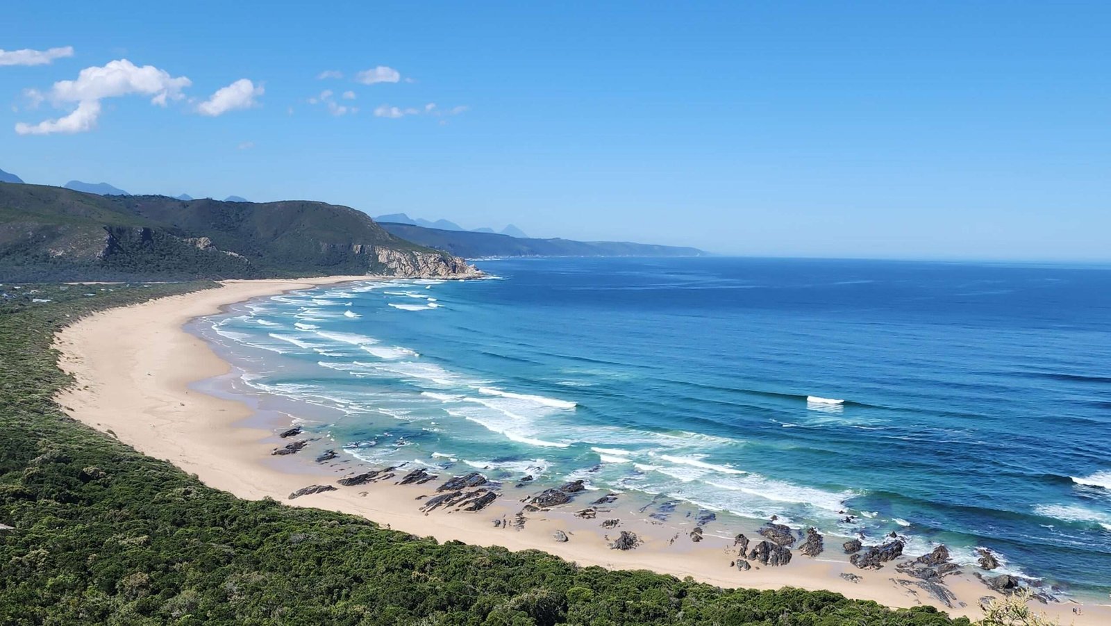
Situated in the breathtaking Nature’s Valley Reserve along South Africa’s famed Garden Route, the Pig’s Head Trail offers an easy linear hike through dune forests. The highlight of this trail is the ‘Pig’s Head,’ a rocky outcrop midway along the path that resembles the shape of a pig’s head. From this outcrop, the trail gently guides you back down through the dune forest, ultimately leading you full circle back to the trailhead.
Technical Details about Pig’s Head Trail
- Level: While generally easy, there is a brief, steep ascent of about 200 meters to reach the Pig’s Head.
- Time: 1 – 2 hours
- Distance: 2km total (linear)
- Safety: It’s generally safe to walk, but just be aware of your surroundings. Also, watch out for wildlife like snakes, spiders and baboons!
How to get to Pig’s Head Trail
The Pig’s Head Trail has two starting locations: you can begin your hike at either the Nature’s Valley Trust Center or the parking lot at the Natures VAlley lagoon. For directions to either of these starting points, simply click on the respective map links below.
TOP TIP: If you leave from the Natures Valley Trust Center, you have to pay a conservation/entrance fee. However, if you park and walk from the parking lot at the lagoon it is absolutely FREE!
Pigs Head Trail starting from Nature’s Valley lagoon
From the parking lot, you can easily spot the rocky outcrop that gives the trail its name. With a bit of imagination, you might even notice the distinctive shape of a pig’s head and snout in the distance – that’s where you’re headed!

Make your way to the sandy beach by crossing the river. I suggest taking off your sneakers and wading through since you might get wet. No need to check the tides, though, as the water is usually only ankle to knee deep.
Keep walking towards the small rocky outcrop in the sand marked by the National Park Sign Board.

Then, continue walking for another 20 meters and be on the lookout for signs directing you into the forest on your left. We entered the forest at the ‘OTTER’ sign, even though there’s another entrance called ‘KALANDERS’ before that. I’ll talk more about the ‘KALANDERS’ entrance later, but for now, let’s concentrate on the ‘OTTER’ sign entry point.

Keep going up the wooden log steps until you see the ‘Kalanders’ hut to your right.
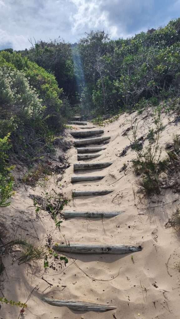
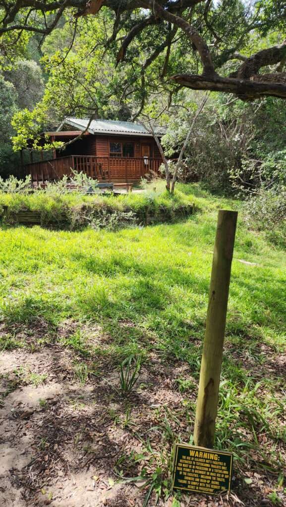
At the top of the stairs, turn left, leaving Kalander hut behind you. Walk about 10 meters to the sign for Bloukrans hut. Turn right and head uphill from there.
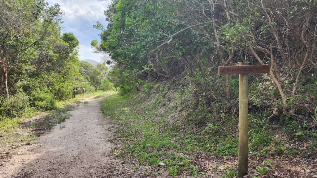
The path gets steep (and can be slippery), so be careful with your footing.
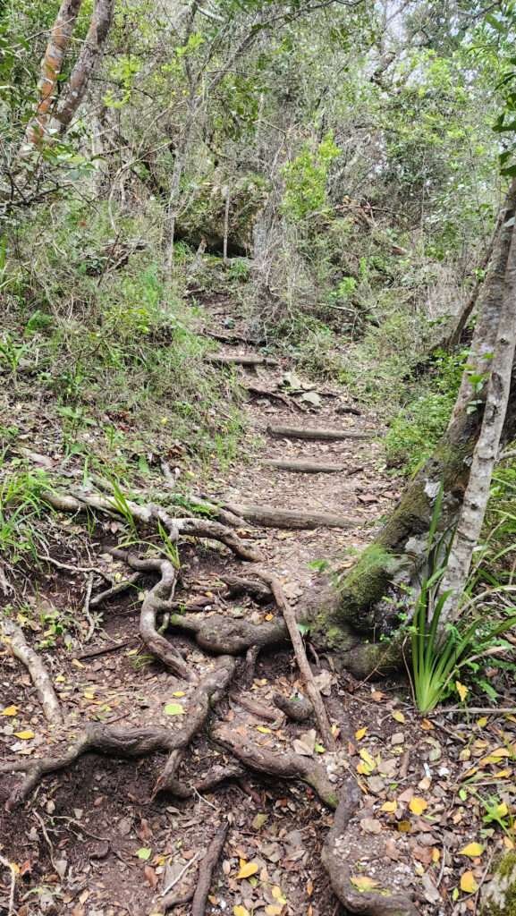
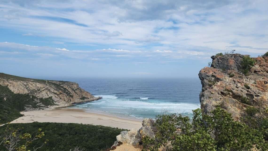
Follow this path until you reach a distinct left fork that takes you to a light brown rocky outcrop – congratulations, you’ve reached Pig’s Head!
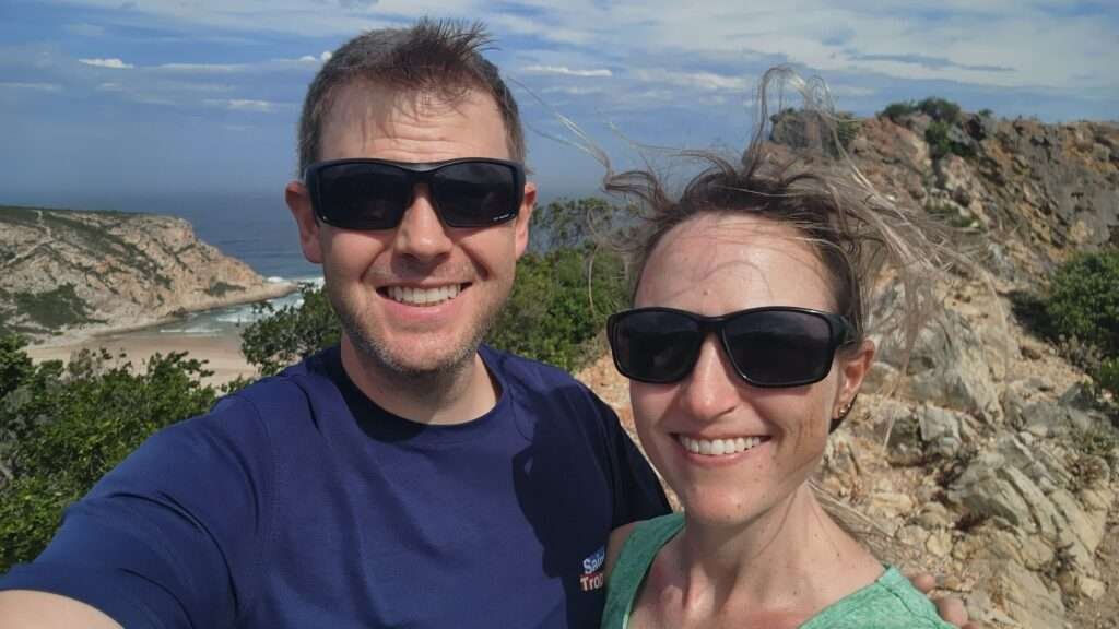
Behold the Pig’s Head!

I wish we had brought a picnic to enjoy our time there even more, but the wind was so strong it almost blew us off the rock anyway!
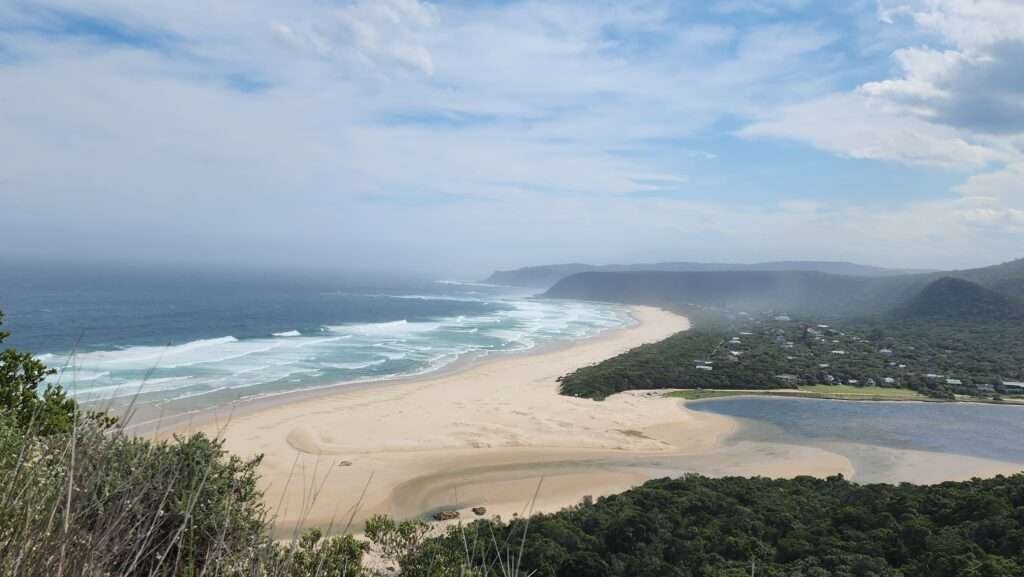
Following the Pig’s Head Trail back down to the lagoon
To return to the Natures Valley lagoon, just retrace your steps down the same path. Going down is much faster, and you should reach the parking lot within 30 to 45 minutes from the top of Pig’s Head.

Alternative route for the Pigs Head Trail, from the Kalander Hut Entrance
You can also access the trail from the Kalander Hut sign, situated approximately 30 meters behind the Otter Trail entry point.

After entering the forest, continue up the stairs and then turn right.
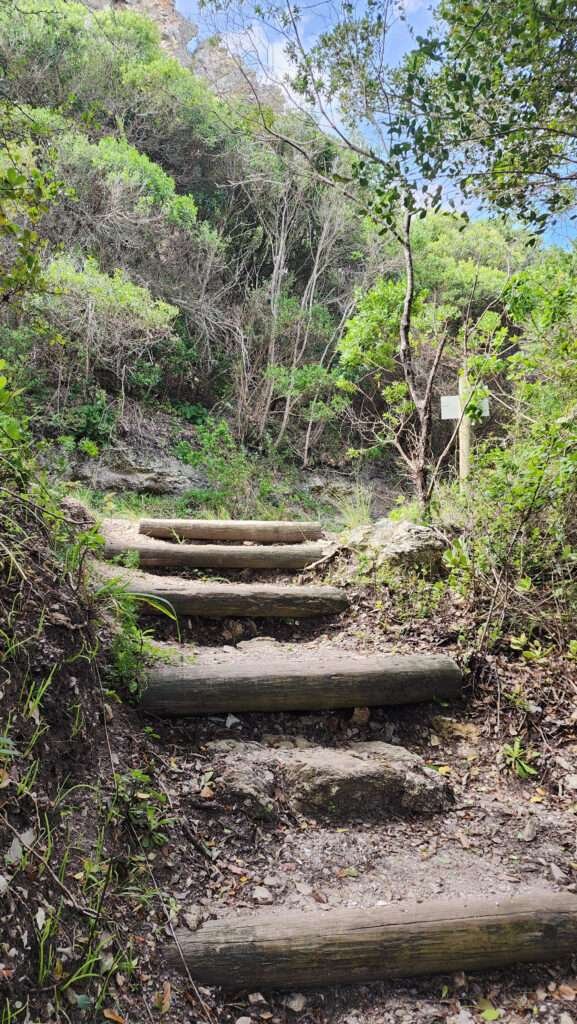
Then, about 10 meters before Kalanders Hut, turn left up the incline at the sign for ‘Bloukrans Hut’.
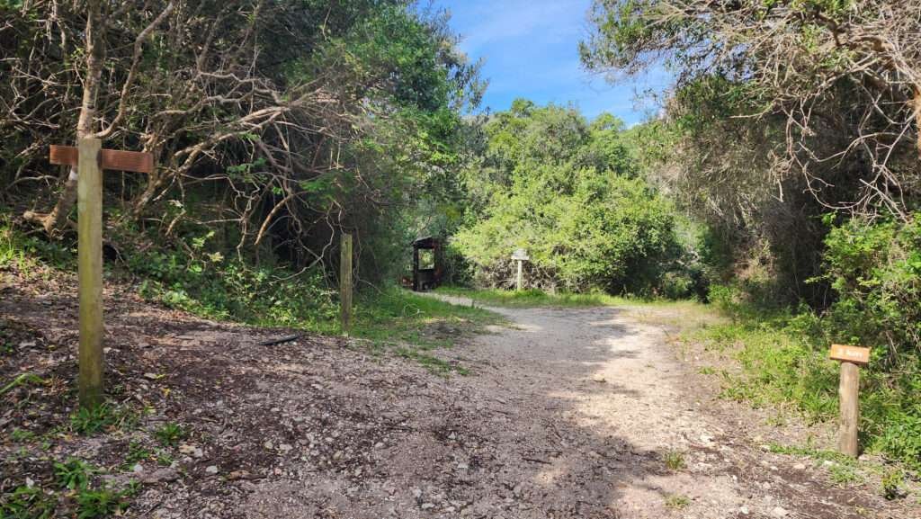
Just like the trail description at the Otter entrance mentioned earlier, keep going on this path until you see a clear left turn. This uphill path will take you to the Pig’s Head.
In summary, Pig’s Head Trail is a fairly easy 2km hike through scenic dune forests, with the highlight being the views from the ‘Pig’s Head’.
Where to stay in Nature’s Valley
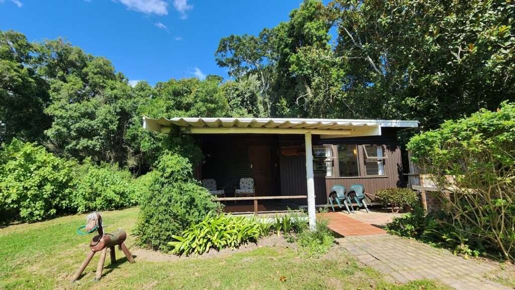
For nearby stays to Pig’s Head Trail, check out Nature’s Valley Rest Camp. The rest camp lies within Tsitsikamma National Park and offers self-catering options like chalets and camping facilities. Advance booking is advisable, especially during peak seasons. If not available, check options within the Natures Valley village on Booking.com. For a more comprehensive search, Google Maps may be helpful, as not all accommodations are listed on major booking sites.
If you can’t find what you need in Nature’s Valley, explore the Crags region. I highly recommend Natures Way Farm Stay, just a 15-minute drive from Nature’s Valley. It’s on a working farm and makes for a lovely base to explore the area.
For more options, you can also check out places like Plettenberg Bay, just 25km to the west, which offers a variety of accommodations. Heading east, Storms River Village is about 45km away. The village has great accommodation choices, as well as some lovely restaurants and nearby attractions.
Best things to do in Natures Valley
Other hikes in Nature’s Valley & surrounds
Check out one of our other favorite hikes in the region, the Salt River Mouth hiking trail.
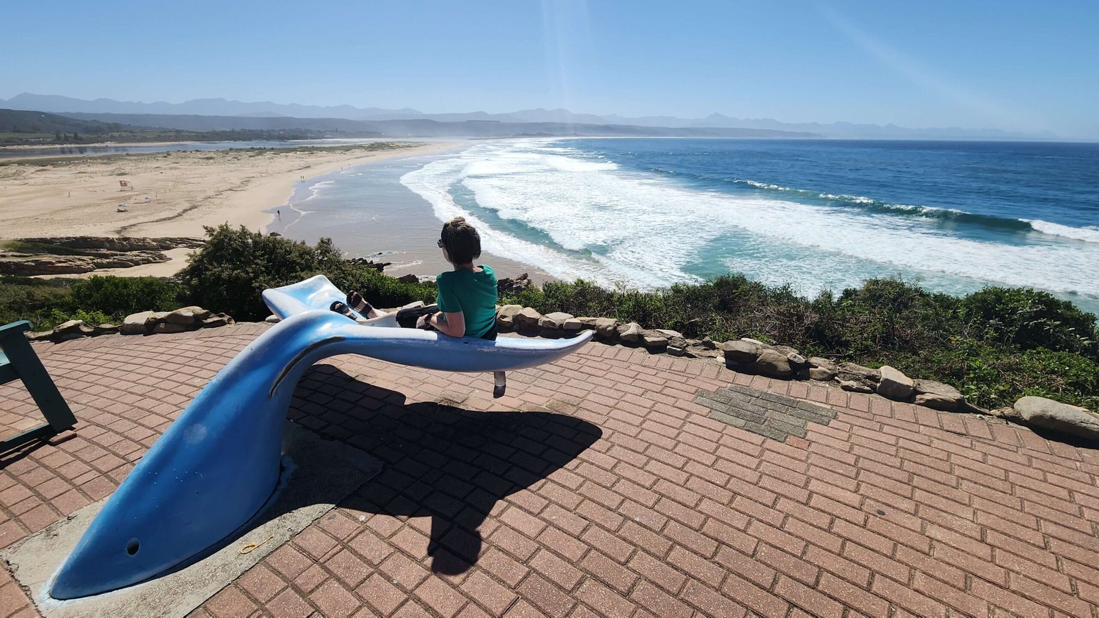
Robberg Nature Reserve isn’t too far from Natures Valley either, just a 45km (44 minute) drive in a Westerley direction towards Plettenberg Bay.
The trails at Storms River Mouth are some of my favorite in South Africa. Be sure to check them out here.
Explore the Best of the Garden Route: A Three-week itinerary
